The Hebron Historical Society
Hebron, Connecticut
Enjoy Hebron - It's Here To Stay ™

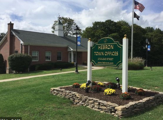
These brick buildings date from 1910 and 1960. They contain the records of Hebron from before 1708 to the present. These records list births, marriages and deaths as well as property sales. They provide a continuous record of change in Hebron over the past 300 years. By 1744 only 40 years after settlement, Hebron had over 150 families with 7, 8 or 9 children within its bounds. As a result, a once vast tract of land came to be divided up into smaller farm parcels.
Think about it
Hebron originally included parts of Marlborough and Andover. In 1744 Isaac Pinney drew a map of Hebron showing where families lived. Many of the roads that go through town today are shown on the 1744 map. The center of town is marked by the lopsided rectangle in the center. Can you identify any roads that you use today that existed in 1744?
Where to go next
You are now close to where you began this tour. Have a seat in the Airdorondack chairs and look at the surrounding area. When ready go down to the cross walk heading toward the Congregational Church
Meet Your Neighbors QR Tours funded by the Hebron Greater Together Community Fund in conjunction with the Hebron Historical Society
